
How to get to Port Solent Marina
Tucked away in the sheltered waters of Portsmouth Harbour, Port Solent Marina is just outside the city of Portsmouth. Close to the A3(M) from London to Portsmouth, just off the M27, it’s very conveniently located and easy to find.
The marina’s reception is open 24 hours a day.
Navigating to Port Solent
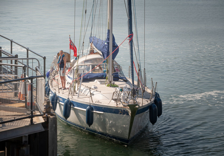
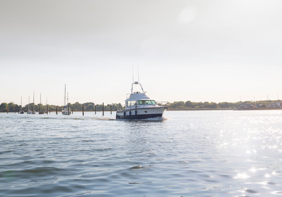
Port Solent Marina is situated in the upper corner of Portsmouth Harbour. The Harbour is a busy commercial, naval and leisure port so care should always be taken in and around the entrance. Read our full guide on approaching the marina by sea.

Directions by road
Port Solent is well signposted, a short distance from the M27, around 75 miles from London via the A3(M). From the east, branch left off the A27 at Hilsea, follow the A27 towards Fareham into Southampton Road past Tesco. Filter left at the lights into Portway. From west and the M27, exit at Junction 12, follow the A27 to Port Solent. From Portsmouth follow signs from the M275.
Rail, air and ferry connections
Southampton Airport is 18 miles away, with Gatwick and Heathrow 65 miles away. The nearest local station is Portchester, while Portsmouth and Southsea station has regular connections to Brighton, London and Southampton. There are excellent ferry links to the continent, Channel Islands and the Isle of Wight via ferry and hovercraft.
Getting here
Tucked away in the sheltered waters of Portsmouth Harbour, Port Solent Marina is close to the A3(M) from London to Portsmouth, just off the M27, it’s very conveniently located and easy to find.
Reception
Open
24 hrs
Address
Address
Port Solent Marina, South Lockside, Port Solent, Portsmouth, Hampshire PO6 4TJ
Port Solent Marina features
Port Solent Marina has all the services you’d expect from a premium marina.
Parking
Personal bathrooms
Laundry
Pump-out

Download the Premier Marinas mobile app
Take control with MyPremier and the Premier App. Sign in to the app with your MyPremier account and access a range of unique features to help you when you're out and about. Inform your home marina of your departure and expected return, view the latest tides and weather information or report any maintenance.Newsletter sign up
Be the first to find out about our upcoming developments, the latest news from our sites and our seasonal offers.